
Hiking: your trail as a poster
A long-distance trail, a mountain tour, a crossing: find your route among 6 hikes and keep a record of your adventure.
6 races




Your race isn't listed?
Import your own GPX file or a Strava activity: the poster is created the same way, with any route.
How it works
- 1
Pick your race
The official route is loaded automatically, for the right year.
- 2
Personalise it
Title, time, bib number, colours, map style, elevation profile, photos…
- 3
Get your poster
Printed and delivered to your door, or as a high-resolution PDF.
Frequently asked questions
Is it the official race route?
Yes: each route comes from the race's official GPX track, edition by edition. If the course changed from one year to the next, pick the year you ran.
Can I add my name and time?
Yes. In the designer you edit the title, date, your time, bib number and colours, and you can add the elevation profile or your photos.
My race isn't listed, what can I do?
Import your own GPX file or a Strava activity: the poster is created the same way, with any route.
Which sizes and materials are available?
Paper from A4 to B2, framed or not, aluminium and wood from 20 × 30 to 50 × 70 cm, or a high-resolution PDF to print yourself.
The hiking poster: your trail on a map
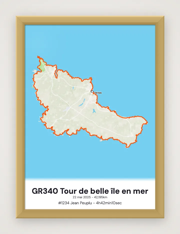
A long-distance trail, a mountain tour or a great crossing: a multi-day hike is best told on a map. The poster shows your full route on a detailed base map, with distance and elevation gain.
Add the elevation profile, the dates of your adventure and points of interest (huts, summits, camps), then choose the size and material.
A beautiful way to remember a journey on foot, or to plan the next one.